It’s been three months since we last ventured into the wilds of Rhode Island. THREE MONTHS! I’ve tried to avoid the New England habit of treating Little Rhody like the runt of the litter, so I’m going to course-correct with a story about a different kind of hiking experience in Providence. But to tell this story, we have to begin in Seattle…
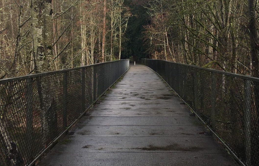
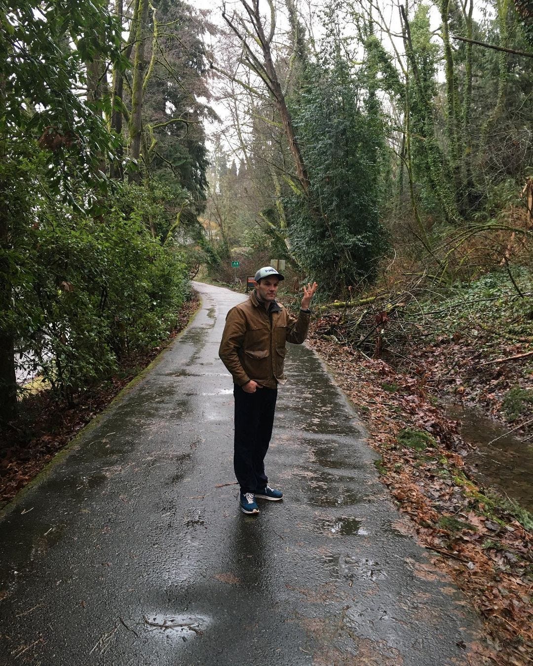
Exactly a year ago, I was visiting my dear friends George and Zarya in the Pacific Northwest. George and I met in the Appalachian Mountain Club huts in the White Mountains when working as “croo” members, scrubbing composting toilets and slinging minestrone soup for guests. (Usually not in that order.) We each found our way to a city, lured by the more cosmopolitan offerings that you won’t find in the backcountry. But hiking is in our DNA. And each time we see each other, we go for a ramble somewhere. This past winter, we decided to try hiking some of the Burke-Gilman Trail—which is one of the first multi-use rail trails constructed in the U.S.
When people talk about urban and suburban trails, they tend to think of rail trails: old railway corridors that have been paved over, illuminated, and opened to cyclists and pedestrians. And they tend to be cross-region trails. The Burke-Gilman Trail begins in the city of Bothell on the east edge of Seattle, and it runs 19 miles along the shores of Lake Washington and then through the dense enclaves of the U District, Fremont, and Ballard, before concluding at Golden Gardens Park, with its sensuous views of Puget Sound and the Olympic Mountains. Bike trails are often a bit quieter in the dark, wet winter months, and we liked the idea of walking a more remote section of the Burke-Gilman Trail without having to constantly look out for cyclists. So we drove up to the Bothell end of the trail, parked, and planned to hike until we felt like bailing—at which point we would exit the Burke-Gilman Trail and catch a bus or an Uber back to our car.
But our escape plan proved to be a grave miscalculation.
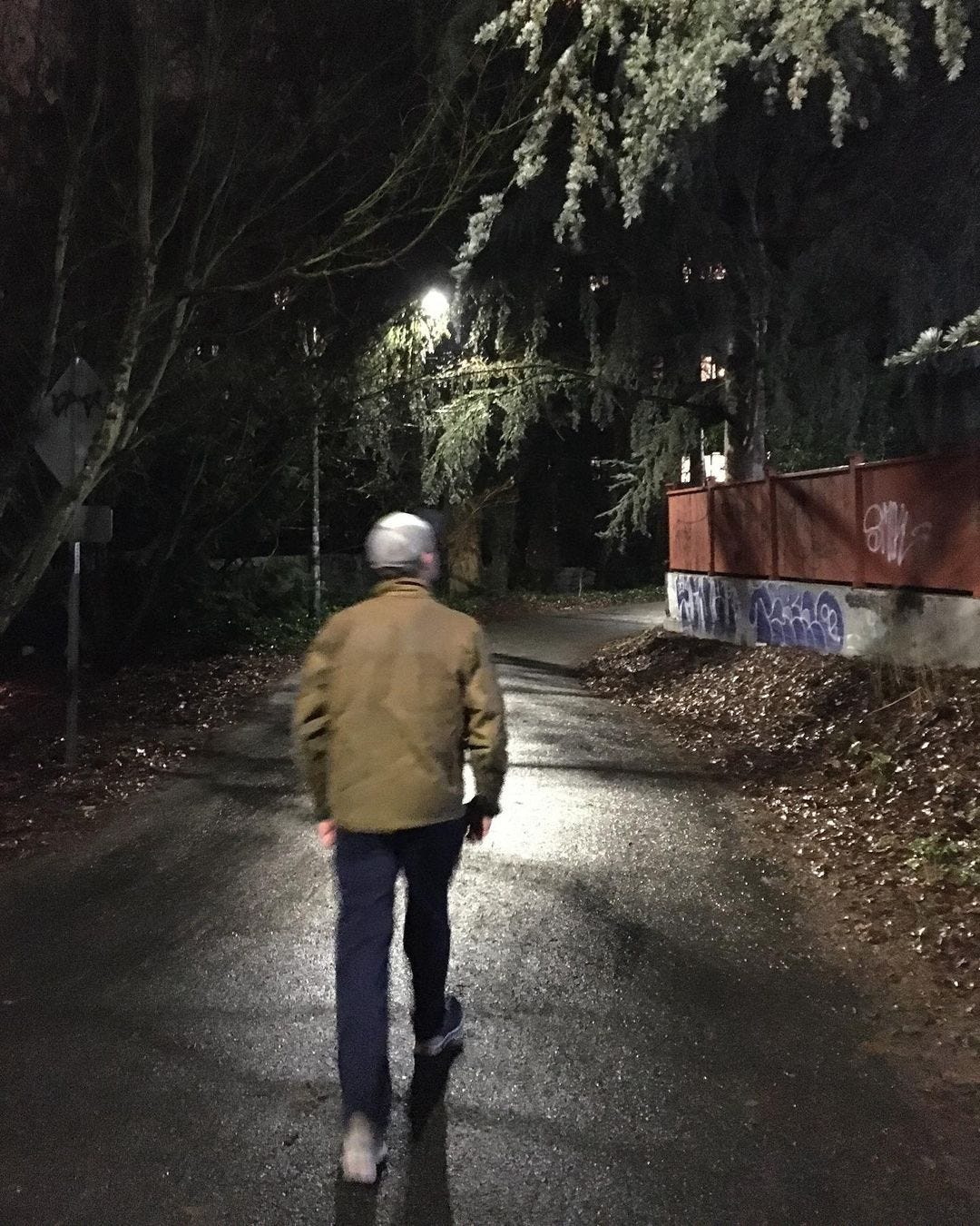
Multi-use rail trails are technically accessible for both bikers and walkers, and yet, there’s an overlooked hierarchy when it comes to how these trails are designed. It’s dangerously easy to become stuck on a long, unbroken, isolated stretch of a rail trail. If you’re gliding along on a bike, this usually isn’t a problem. But by foot, it’s an ordeal. After reaching Log Boom Park on the north end of Lake Washington and marveling at the wobbly docks there, George and I continued into a tunnel of ferns along the lake, as the rail trail traversed the spaces between forests and fenced backyards. Turn by turn, we slowly realized was that we hadn’t seen an “exit” from the trail in a long time. We kept hiking as the Burke-Gilman Trail took us deep into a lakeside residential area at the bottom of a very steep, wooded hillside. And as the drizzle turned to rain and the sun started to go down, we realized with sodden horror that we were going to have to hike nearly 8 miles to the U District to find a transit-accessible exit from the path.
When we finally staggered into the busy student neighborhood around 8pm, shivering, dripping, soles aching, half-delirious, we still had to find a ride back to Bothell and pick up George’s car. And we started laughing about the debacle. What else could we do?
Now here’s where we return to Rhode Island. George and I may have miscalculated the depth of what we were undertaking by hiking part of the Burke-Gilman Trail (and we still ended up having a good time, in a deranged, Cheshire-grin sort of way.) But going for a hike on a rail trail or another bike path can be a wonderful way to get outside in the winter. It’s also slots into the genre of Contrarian Hiking that we’ve explored before—hiking in venues that most visitors are avoiding due to seasonal elements. While most bikeable paths see year-round activity from cyclists and walkers, the freezing winds do thin the number of bikes whizzing by you. And that’s why I want to highlight one of Providence’s prettiest bike paths, as a more reasonable and less deceptive alternative to what George and I went through on our Burke-Gilman misadventure.
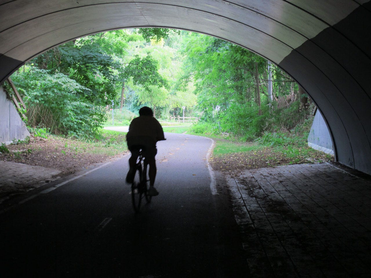
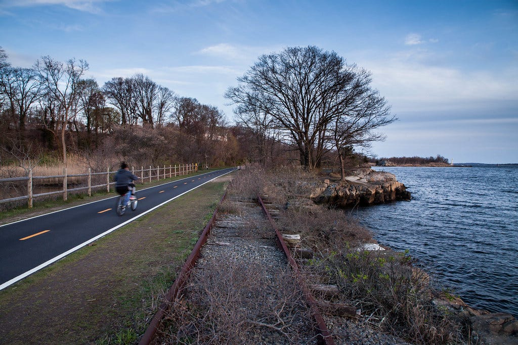
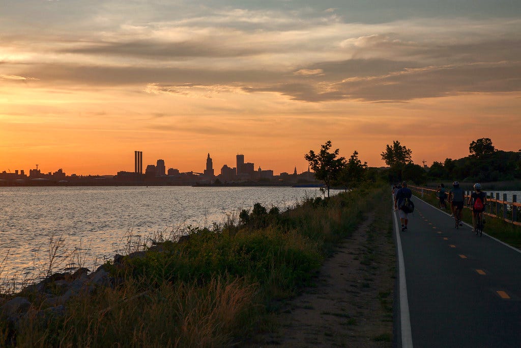
The progenitor of Little Rhody bikeways is the East Bay Bike Path: the first bike trail created by the state transportation department. It runs a cool 14.5 miles from India Point Park on the East Side of town to the seabreezy lawns of Independence Park in Bristol. The RIPTA 60 bus offers direct service between the two trailheads and the route is replete with off-ramps where you can hop onto some of the other buses that connect the burbs with downtown Providence. This alone makes the East Bay Bike Path a great entry-level experience for anyone getting into rail trail hiking. You can hike a small piece of it—or the entire thing—without having to wander way through miles of adjacent residential territory to find a bus station, a restaurant, or other forms of trail support. And we haven’t even started to cover the scenic amenities along the trail…
With the disclaimer that India Point Park is next door to the Narragansett taproom (a fine prelude to any Rhode Island hike) and that the George Washington Bridge closure has *not* impacted how the bike path crosses the Seekonk River (all the more reason to take the train to PVD) here are a few specific locations that I suggest as entry/exit points for your Easy Bay Bike Path hike:
Narrow Beach (East Providence): A classic pebbly Rhode Island beach with views of the wind turbines taking shape along the Providence River (accessible via the RIPTA 32 bus)
Squantum Woods Park (Riverside): 28 acres of twittering, creaking forest right on the river’s edge, and one of the most pristine parts of the entire trail (accessible via the RIPTA 33 bus)
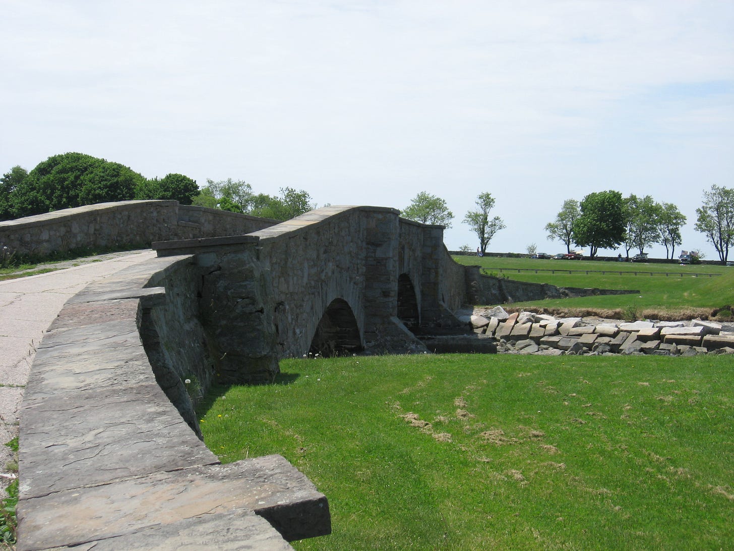
Veterans Memorial Park (Barrington): From this park, you can walk past the glittering waters of Brickyard Pond to the west OR the intriguingly-named Belcher Cove to the east (accessible via the RIPTA 60 bus)
Jacobs Point Preserve (Warren): Big, buzzing, beautiful salt marshes! Plus easy access to the Rhode Island Audubon Society’s boardwalk path to Narragansett Bay (accessible via the RIPTA 60 bus)
Colt State Park (Bristol): A waterside oasis with bay views and an open-air “seaside chapel” that you might consider for an upcoming wedding or wake (accessible via the RIPTA 60 bus)
Wherever you decide to put in, know this: once you’ve gone for a cross-town hike on a rail trail—even a hellish hike—a new layer of hiking venues will start to reveal itself. The next time you’re biking the Minuteman Bikeway and you pedal past the Great Meadows of Arlington, you won’t just think, “Huh, I wonder what’s hidden in those grasses.” You’ll park your bike and follow the rocky spur trail that burrows into the meadows from the bike path’s edge. Whenever the Northeast Kingdom sections of Vermont’s Lamoille Valley Rail Trail are repaired (last summer’s floods did a nasty number on them), you can have yourself a little walking holiday up there, hiking from inn to inn or brewery to brewery. And when you squeeze your way to the bar past veiny people in neon PEARL iZUMi shorts and one of them asks if you’ve biked the rail trail, you can take a long glug of your IPA, lower it, and reply, “No. Have you ever hiked it?”
CLICK HERE for a map of the East Bay Bike Path
CLICK HERE for a map of the Burke-Gilman Trail (if you dare)
(You can also check out maps of both rail trails and many others on the Rails-to-Trails Conservancy website. BUT they make you log into the site with a Facebook or Google account before you can use any of the website features, which I think is kind of weird.)
And here's the audio version of this week's newsletter:
Speaking of Contrarian Hiking, those of you who live in or around Boston might be interested to know that this next Tuesday, February 6th, I’m leading a group NIGHT HIKE along the Franklin Park segment of the Walking City Trail. This is part of a new guided hike series that I launched in mid-January, which people were more into than I expected! Our first night hike took us through Arnold Arboretum to the top of Peters Hill, where we enjoyed a view of the Boston skyline at night. And it was a snowy, icy climb getting up there! The ground conditions for our coming Franklin Park traverse should be much more manageable. All you need to do is show up bundled up at the Green Street MBTA station at 6pm with a decent headlamp or flashlight. There’s no need to RSVP and the hikes are free and open to all. Donations to the trail are gladly accepted, as are indirect donations via a paid subscription to this hiking newsletter :)




I visited Colt State Park a couple of years ago! It was part of the course for the Gloria Gemma walk for breast cancer. It's a beautiful park!
In addition to rail trails there are tow paths. The D&R along the Delaware is a great one with lots of good loops via ped friendly bridges that take you from NJ to PA and back. Great signage too. Tow paths on both sides of the river. and it’s even better on x-country skis.