Big dreams, small state
Mountains, madmen, waterfalls, and killer beer in Little Rhody
I really love Rhode Island, or should I say…Little Rhody.
This is the unofficial and superior Ocean State nickname that Rhode Island natives will invoke when writing about their home. Strangely, I’ve never heard anyone say “Little Rhody” out loud in a conversation. But nonetheless, it’s a great moniker because it reflects the determination and self-satisfaction of Rhode Island. It makes me think of a chunky field mouse gnawing its way through a head of cabbage that fell off a truck. That’s the spirit and the scale of Rhode Island—diminutive and awesome.
Now that mud season is over, it will soon be time to focus on the hulking mountains of northern New England and climb to the alpine zone. But this weekend, I decided to veer in the opposite direction and see how many earthly delights one can cram into a Saturday in Rhode Island. Because unlike a gargantuan landmass like Camel’s Hump or the endless woods of Maine, Little Rhody is so little that you can accomplish a lot on a day trip here.
In the window of 11am to 6:30pm, I set foot on Rhode Island’s highest point, I took a hike to one of its most enchanting waterfalls, and I followed the Seekonk River to sample frosty ales at a renowned Rhode Island brewey.
Where else can you do that?
The journey began with a visit to the forested summit of Jerimoth Hill. At 812 feet above sea level, Jerimoth Hill is the highest point in Rhode Island. A sign on Rt. 101, which crests the hill, announces the landmark. But public access to actual summit marker in the woods on top of the hill is something of a recent development.
For years, Jerimoth Hill was one of the most difficult state high points to reach, thanks to a landowner who lived on the hilltop. The very short trail from the road to the summit crossed the driveway of Henry Richardson. By hikers’ accounts, Richardson took a borderline sadistic interest in harassing people who tried to visit the summit.
After posting NO TRESPASSING signs through the woods, Richardson leveled up by installing a security system that alerted him to the presence of hikers. Would-be hill baggers shared tales of being confronted by an enraged Richardson. He was often carrying a gun and ranting about shooting “highpointers” (people who seek out the highest points in states.) Other hikers had close shaves with Richardson’s dogs and even his neighbors, who also had guns which they would sometimes brandish.
Richardson became a fearsome New England legend with an enviable nickname: the Madman of Jerimoth Hill. There’s even found a song about him! Jerimoth Hill was practically inaccessible to hikers until the early 2000s. Since then, several changes of land ownership have essentially given the summit of Jerimoth Hill back to the public.
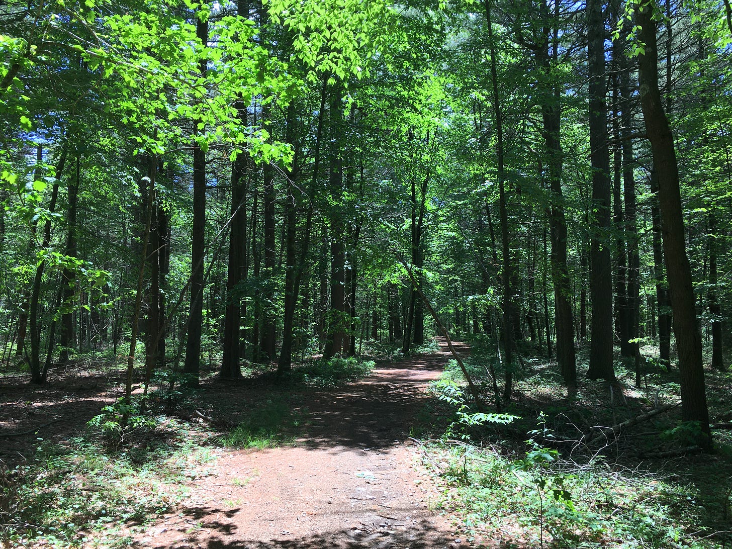
The trail from Rt. 1010 to the boulder which marks the summit is only 0.3 mile, and there’s no real climbing involved since you’ve already driven to the crest of the hill. But as I strolled through the sun-splashed deciduous woods to the summit, glimpses of nearby houses through the trees made the hairs on the back of my neck start dancing. Were these the homes of Richardson’s neighbors who occasionally pointed their guns at hikers too? Were they still monitoring hikers, as the Madman himself once did?
I didn’t linger at the summit, which was decorated with a couple of trinkets left by highpointers. These included a prayer flag, a canteen, and two painted eyes that someone had affixed to a tree trunk. As if Jerimoth Hill isn’t unsettling enough.
Leaving a small patch of rubber on the road, I hightailed it east on Rt. 101 and things became far more tranquil. A brisk half hour drive south took me into the woodlands of the Arcadia Management Area, the state’s largest recreational forest at over 14,000 acres wide. My destination was Stepstone Falls, one of Little Rhody’s most beloved cascades, where water spills down block-shaped rocks that resemble large stairs.
The most popular hiking route to the falls is the Ben Utter Trail (a 2.7 mile loop hike). Named for a Rhode Island conservationist, it departs from a smooth dirt road and follows the soothing gush of the Wood River through a blooming, verdant forest where you’ll hear lots of buzzing and screeching. Occasional boardwalks and plank bridges over tributaries amp up the enchantment. But there’s something bigger here, hidden in plain sight, and it began to reveal itself as I got closer to Stepstone Falls.
Nailed to a few trees along the Ben Utter Trail are small white markers with the words “North South” scrawled on them. They’re posted here because the Ben Utter Trail is a tiny segment of the 77 mile North-South Trail from Rhode Island’s south coast to the Massachusetts state line! I wrote about this lesser-known long distance trail in a prior newsletter, but it’s a safe bet that many Stepstone Falls hikers are unknowingly hiking a section of Little Rhody’s premier cross-state trail.
The falls themselves—which were beautiful and occupied by swimmers—brought things back to the petite scale of Rhode Island. The tallest drop couldn’t have been more than 4 feet high. But the sequencing of the drops and the shallow pools beneath them were irresistible. I pulled off my socks, put my feet in the water, and spaced out.
The forests of Arcadia Management Area are so thick and vividly alive that it might surprise you to realize that Providence is only a 40 minute drive northeast of here. But after bidding adieu to Stepstone Falls and slapping mosquitoes off my limbs on the hike back to the trailhead, that’s where I went. But unlike my last Providence foray for the newsletter, when I went for a Weird Rhode Island Food hike across the west half of town, I headed for the tony East Side this time. I left the car near Witherby Park, and picked up the Old Bridge Path, a multi-use trail which begins by weaving through trees and grasslands behind a Salvation Army distribution center and a supermarket.
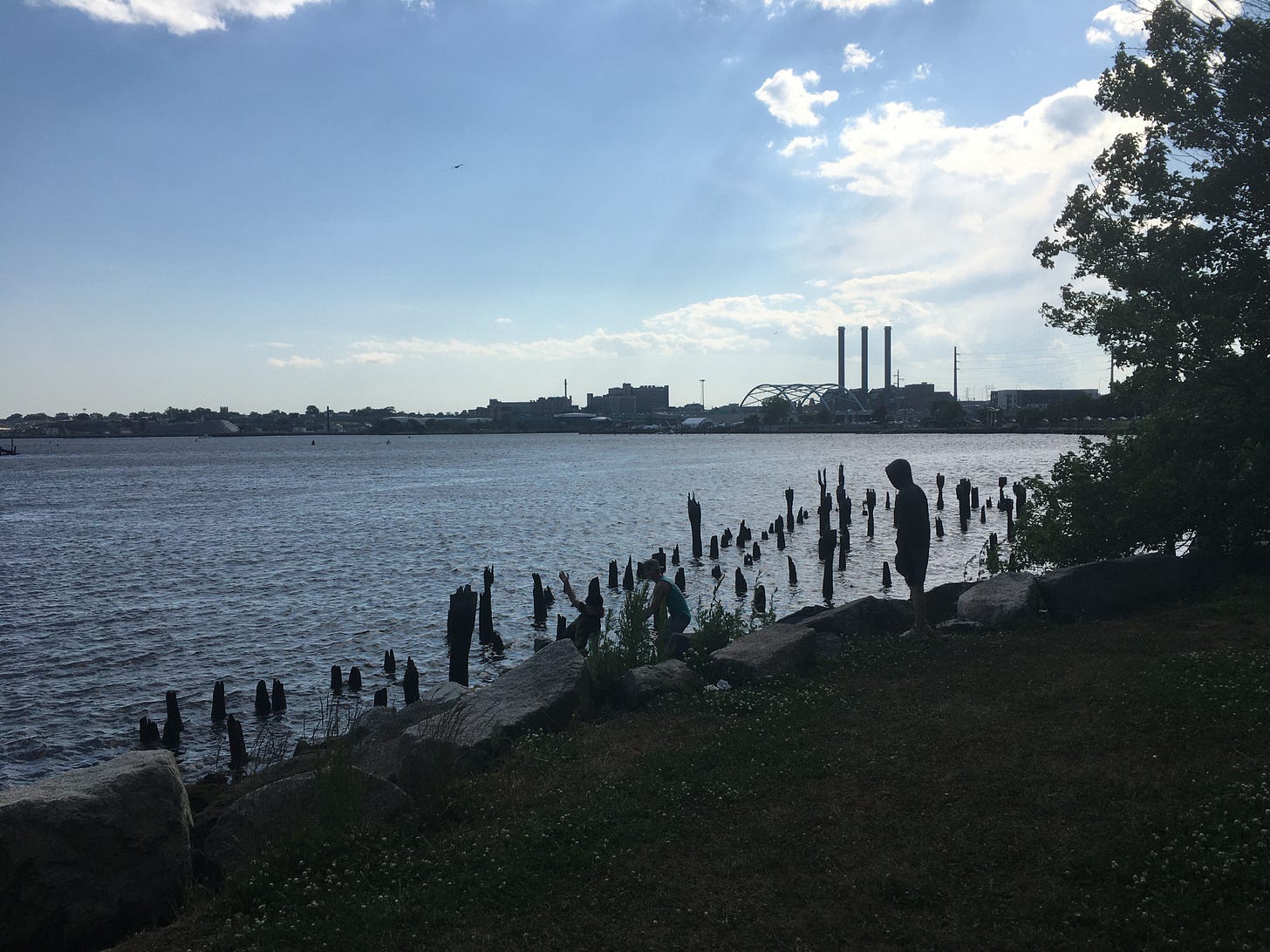
Within minutes, I was hiking the banks of the Seekonk River and rewarded with stellar views of Pancake and Gingerbread Islands, and the shuttered Crook Point Bascule Bridge—an old railroad crossing which has been left permanently raised since its closure in 1976. There have been calls to demolish the bridge. (Decades back, it was seen by some as a symbol of urban decay in Providence). But in recent years, the city has drawn up plans to take ownership of the relic and turn the trestle into a public park. I hope that the half-erect bridge itself will be allowed to remain, as a symbol of the strange things that can happen in Little Rhody. But public recreation comes first.
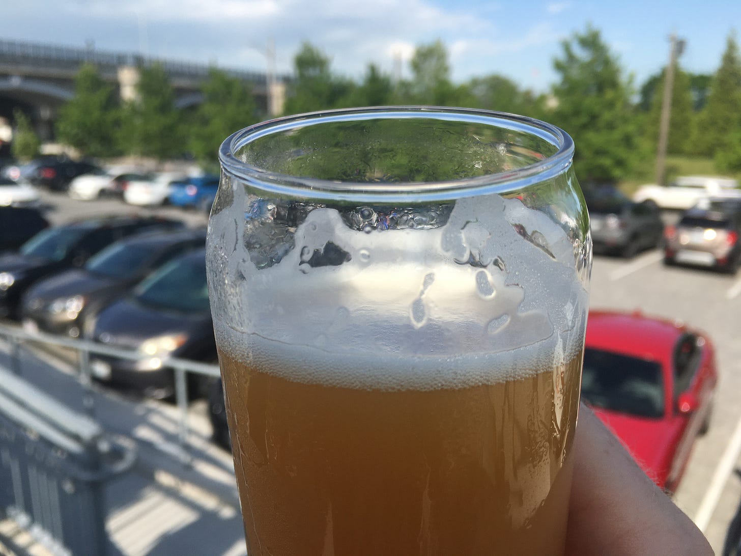
In the end, all the roads I had traveled led to the Narragansett Brewery taproom and patio next to India Point Park, where I watched Young Professionals playing cornhole and sipped a deliriously hazy IPA called Muzik Express. A classic Gansett is the king of cheap beers, but the brewery offers a more extensive and esoteric draft list—just like Rhode Island offers hikers an unbeatable concentration of beauty, oddities, and thrills. It’s like a tapas menu, or the free banchan platter that you receive at any Korean barbecue eatery. A tempting palette of tiny appetizers: colorful, savory, and fulfilling.
But not quite as fulfilling as a Saturday in Little Rhody.
JERIMOTH HILL
Hike distance: 0.3 mile
Elevation gain: 6 feet
CLICK HERE for a trail map
STEPSTONE FALLS via BEN UTTER TRAIL
Hike distance: 2.7 miles (out-and-back)
Elevation gain: 197 feet
CLICK HERE for a trail map
NARRAGANSETT BREWERY via OLD BRIDGE PATH
Hike distance: 2.2 miles (loop)
Elevation gain: 56 feet
CLICK HERE for a trail map


