It’s pretty much impossible to have a conversation about Maine without somebody bringing up fried clams, lobster buoys, or the old timer at the general store flexing his suspender straps and talking about heavy barnacle growth. (See! I’ve done it already.) Due to its natural beauty and the allure of New England beaches, the Maine coastline has served as a veil for the more ragged and untamed wonders that await inland. The mountains of Maine are big, bulbous, remote, and speckled with spruce trees. Those first three qualities make Maine’s mountains enviable hiking destinations during the summer and fall. But in the winter, long drives on snowy roads and icy hiking terrain can put Maine mountaineering out-of-reach for a great amount of would-be visitors.
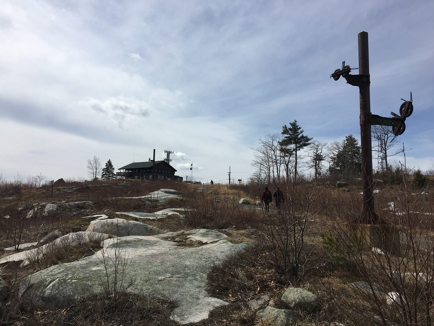
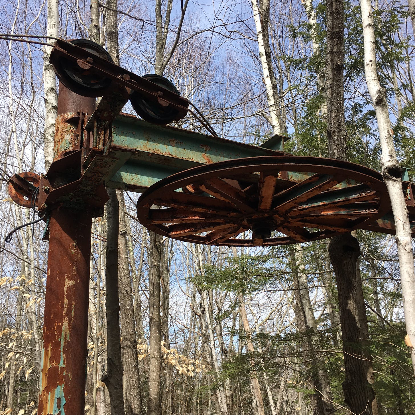
But we’ll always have Big A. Formally known as Mount Agamenticus, this cute little rock heap near the southwestern Maine beaches of York and Wells was once the home of a ski resort, whose ruins are still rusting in the woods. Big A features pretty much everything you could want in a mountain, at an approachable winter scale. The summit “looms” just 692 feet above sea level, but from the observation deck or the tower at the top of Big A, you can gaze all the way to the White Mountains on a clear day. An auto road to the summit and a universal paved pathway around the summit make Mount Agamenticus accessible for visitors whose mobility is limited. (It was a beloved destination for my late grandfather, Chris Cook, during the final years of his life.) And while climbing a 692-foot mountain might not sound like much of a climb, the spectrum of Big A ascent routes that you can choose from is impressively diverse. To see what I mean, take a look at this map of the mountain’s trail network.
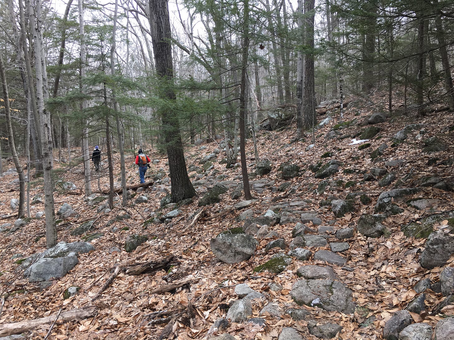
So how do you make sense of this spaghetti mound of interconnected trails? Start by orienting yourself with the white-lined Ring Trail, which encircles the summit cone of Big A. The summit ascent routes either extend from the Ring Trail or pass through it. And if you were to only hike the rocky and modestly-graded Ring Trail in one full loop, without branching off and visiting the top of Big A, you’d be looking at a 1.9-mile hike.
The Ring Trail is the foundation for your climb to the top of Mount Agamenticus, and in snowy conditions, it’s fine ground for hiking with micro-spikes or—in the aftermath of a big storm—snowshoes. The real determination of how cushy or taxing your Big A experience will be comes from the trails you choose next. The most challenging way to experience the mountain is to traverse all the summit trails in one full circle, which you can do since they’re all relatively short! One trail up, next trail down, third trail up, etc. Because I’m the sort of granular-minded hiker who likes to wander around side paths to determine which one has the most bog bridges or stone staircases, I tried doing this one morning—hiking every inch of Big A’s summit cone with the eyes of a gemstone appraiser. I don’t necessarily recommend doing it this way. It’s the sort of hike from which you’ll walk into the nearest gas station with wild hair and purchase a bag of Cheetos with chapped hands and a thousand-yard stare that scares people.
But for your winter hiking pleasure, I’ve decided to distill my close study of Big A into a Top 5 breakdown of the mountain’s most interesting summit routes, which you can mix-and-match as desired. Just be sure to bring a printed or digital map with you, to ensure you’re taking the correct turnoffs, and the rest will be Maine mountain gravy.
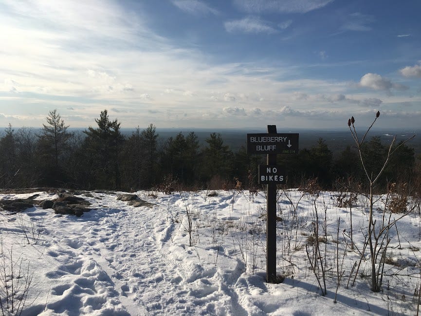
Blueberry Bluff Trail: If you appreciate stony ledges, mild scrambling, and partial lookouts, head for the south face of Big A via the Ring Trail and follow the Blueberry Bluff Trail uphill. It’s a surprisingly steep and rugged climb up a series of exposed rock faces and rock steps, and it doesn’t take too long for the deciduous trees to start thinning out and offering glimpses of the mighty Piscataqua River to the south. The trail finally levels out and reaches the treeless top of Mount Agamenticus by ambling across a bluff that’s seasonally covered with…you guessed it: blueberry bushes! You’ll have to come back here this summer to avail yourself of that trailside amenity. From here, the Blueberry Bluff trail connects to the universal “Big A Trail around the summit, and you’ll see the lookout tower to your left and the observation deck to your right.
Sweetfern Trail: Suppose you prefer beginning your ascent with a nice, sumptuous stroll through the woods along the Ring Trail. The north face of the mountain offers multiple ascent trails and my favorite of the lot is Sweetfern. One benefit of choosing this trail for your summit climb is that it branches off from the Ring Trail steps away from a rusty chairlift tower from Big A’s ski resort heyday. The slabby, moderately-graded climb is vulnerable to moisture in the summer and ice in the winter, so you may just need those micro-spikes. But as you emerge from the trees, you’re greeted by another neat sight: the antenna-like support towers that once suspended the ski lift cables along their final passage to the mountaintop lodge (which is still standing, but has long since been repurposed as an outdoor education center for Big A visitors.)
Vulture’s View Trail: If you’re comfortable on steep and exposed bedrock, then keep Vulture’s View in mind for a possible descent route. While its stone stairs and angled rock faces make for a robust climb, reminiscent of something you’d find further north, the trail’s upper stretches are exposed enough to offer excellent views of that northern territory. So if you find yourself at the top of Big A and bowled over by the visibility of the White Mountains and the Mahoosucs, you might as well keep the party going by taking Vulture’s View back down to the Ring Trail. Like Sweetfern, the sloped rock slabs and their surrounding, grassier terrain are prone to icing up, so be ready to strap on those micro-spikes! Or, as a descent, maybe just save this trail for balmier times.
Fisher Trail: Don’t let the diminutive-looking size of the Fisher Trail fool you. On the map, this route along Big A’s west face might appear like a throwaway path. But in fact, it’s a gorgeous, spacious, and gently-graded switchback route, reminiscent of a trail that you’d find in the Rockies. The upper portions are exposed enough to offer one last vista as you re-enter the woods beneath the summit. And when it snows, the lack of steepness here can make the Fisher Trail a satisfying descent route for hikers who’ve just begun to acquaint themselves with the joys and liabilities of winter hiking.
Goosefoot Trail: Despite what I said earlier about the Ring Trail being the foundation of your Mount Agamenticus hike, there is an alternative access point. If you continue driving along Mountain Road past the parking area for the Ring Trail—which is next to where the summit auto road begins—you’ll eventually reach a much smaller parking lot on your right. The parking availability here can be iffy, but when it’s not, you can enjoy a longer hike to the summit of Big A from this access point. You’ll begin on the Cedar Trail—definitely take the micro-detour on your left through an old beaver swamp—and then you’ll pass a turnoff for the Vulture’s View Trail (from Big A’s summit, it continues further downhill beyond the Ring Trail.) Once you hit another cutoff for the Goosefoot Trail, turn right onto this trail and enjoy a patient and scenically varied ascent up the northwest side of the mountain with stone stairs, bog bridges, and eventually, a direct connection to the Ring Trail and the Sweetfern Trail. For your descent, you can retrace your steps or take Vulture’s View down to the Cedar Trail.
CLICK HERE for a full map and more info on the Big A Trails.
And here's the audio version of this week's newsletter:


