In the United States, the term “stolen valor” usually applies to people who knowingly lie about having served in the military. Or veterans who embellish their records. That might sound like a dumb idea, but a lot of people have gotten caught stealing valor, and some of them are famous. Ronald Reagan used to tell colleagues that in World War II, he was tasked with photographing the liberation of Nazi concentration camps. But in reality, Reagan never deployed to the battlegrounds. His limited eyesight kept him grounded in the U.S., developing footage from the liberation of the camps. More recently, former NBC anchor Brian Williams got caught lying about being in a military helicopter that was fired upon during the 2003 invasion of Iraq. Why did they lie? I’d imagine it’s the same reason why some of us tell tall tales about summiting Mount Katahdin in only two hours, or swimming the butterfly stroke across Walden Pond.
Because it sounds cool, and it tends to impress people.
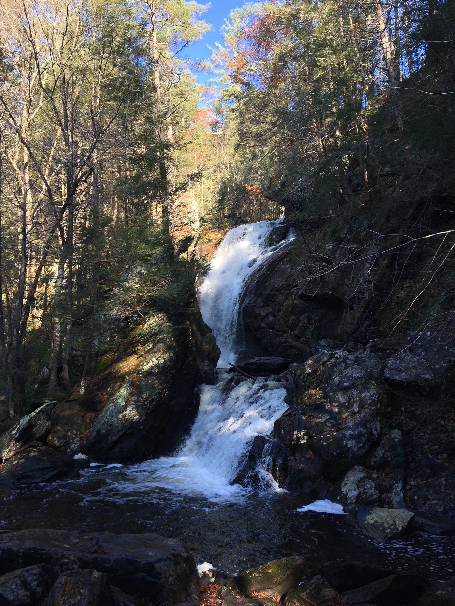
Prestige appropriation happens beyond the scope of the military. One of the subtle examples is natural landmarks that are located on the very edge of a state line. Take Campbell Falls, one of the tallest and most voluminous cascades in Massachusetts. This unsung monster crashes through the woods of New Marlborough, in the remote southwestern corner of the Commonwealth, literally steps away from the Connecticut border. When you search for “Campbell Falls hike” online, the first thing that pops up is a place called Campbell Falls State Park, which contains an access trail to the falls. But here’s the weird twist. Campbell Falls State Park is located in Connecticut, across the line! The parking lot and almost all of the waterfall access trail are Nutmeg State territory. When hiking this easy 1-mile trail, you reach the cascade immediately after crossing into Massachusetts. And from there, you backtrack into Connecticut again.
Does this constitute natural landmark theft? Maybe. There’s no doubt that the Nutmeg State benefits from Campbell Falls, and the structural design of the park essentially treats the falls like a Connecticut commodity. But what makes this case tricky is the origins of the state park. The land was donated to both Connecticut and Mass. by the Litchfield-based White Memorial Foundation, with the idea that management could be shared by the two neighboring states. But the decision to build the public gateway to Campbell Falls within Connecticut still feels like a bit of stolen landmark valor to me. Imagine that we lived next door to each other and you had a beloved rose garden that you dotingly tended to each day. Let’s say I built an elevated porch and invited people to come and gawk at your garden from that porch. In time, some people would start to think, “It’s a nice evening: let’s get a six-pack and go look at Miles’s rose garden.”
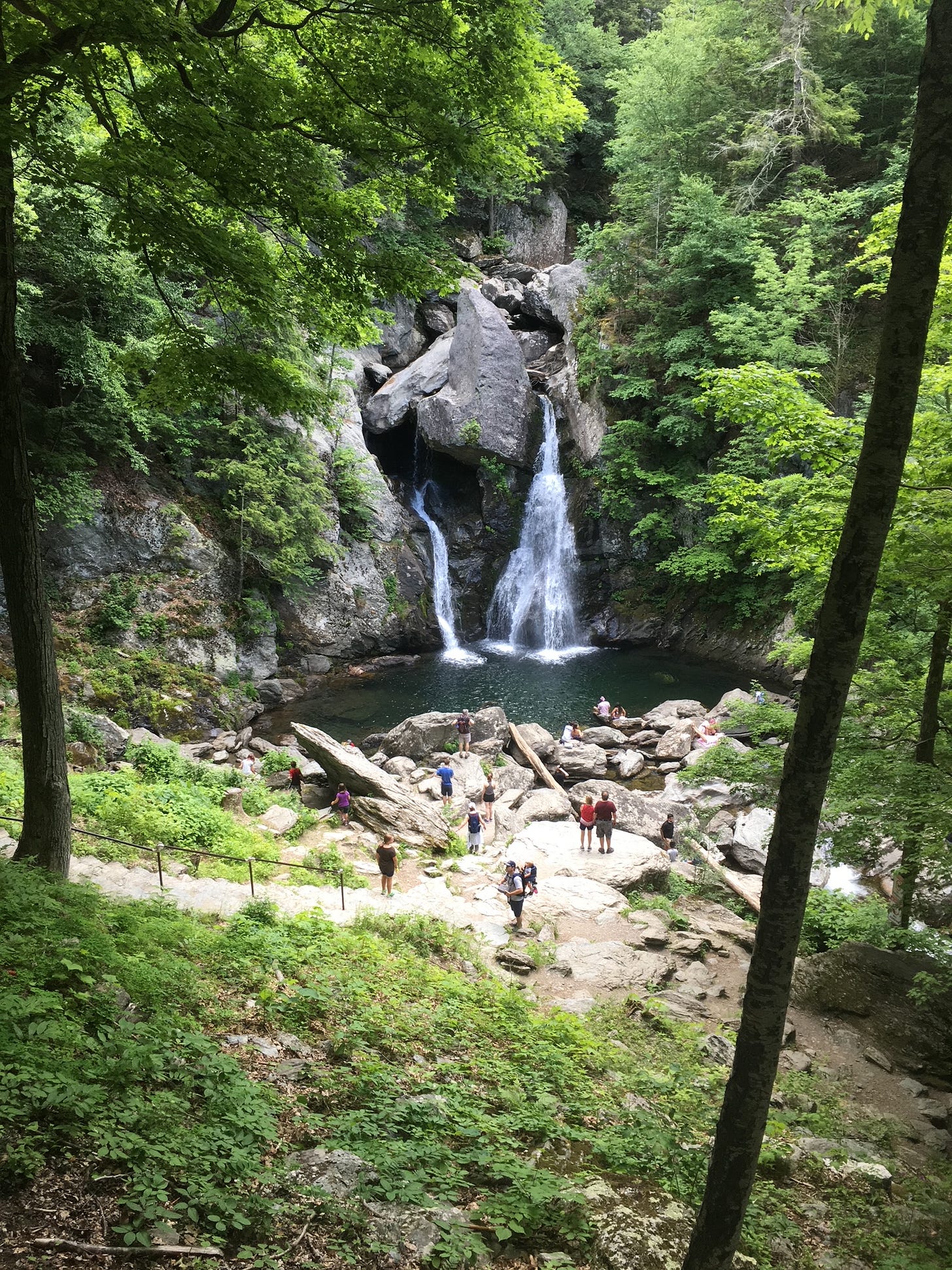
Another landmark where you see a similar dynamic unfolding is the more iconic Bash Bish Falls, also tucked away in the southwesternmost reaches of Massachusetts, in a township called “Mt. Washington.” (How perfect is that?) Bash Bish Falls is the tallest waterfall in Massachusetts at an eye-popping 200 vertical feet. And in this case, most of the land that makes up Bash Bish Falls State Park is located in Massachusetts. But the challenge is the grade of the land. The waterfall is located at the bottom of a very steep mountainside. And so is the New York state line. So guess what happened? The two states built their own access trails to the falls. The Mass. trail is a short but quad-busting 0.6-mile grind with lots of wooden stairs and slick rock slabs. The New York trail is a lovely 1.5-mile amble through the forest, along the rippling waters of Bash Bish Brook, which branches west from the base of the falls. Now imagine you’ve got kids, maybe a Corgi or a Frenchie, and the grandparents. Which trail are you taking?
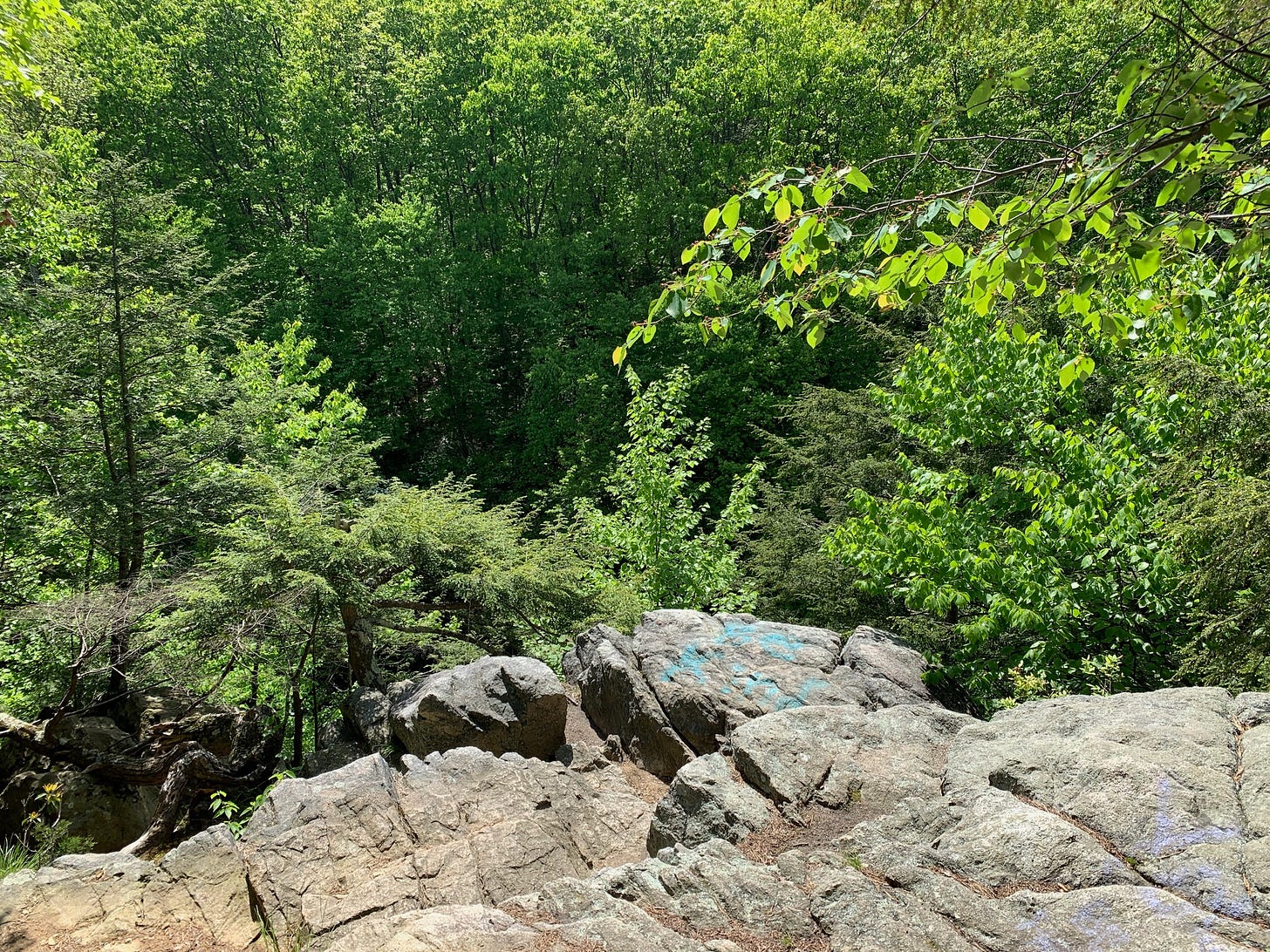
But the most insidious question at the heart of stolen landmark valor is how this cycle of usurption began. Because by now, no state has its hands clean. Massachusetts has been the victim of this story until this point. For my money, one of the most egregious landmark thefts in New England was committed by the Bay State. Just like an older sibling might steal the younger sibling’s favorite toy, the victim of this appropriation is Rhode Island. The two states are bonded by the Blackstone River, and as the river runs southeast toward the Little Rhody state line, it briefly spills downhill over a broad dam waterfall before sloshing through a gorge that’s alive with rhododendrons, laurel, and ferns during the warmer months. This is Blackstone Gorge, perhaps the finest stony abyss in the Ocean State. A rugged access trail runs along the water’s edge from the falls, gradually climbing the wooded ledges of the gorge and offering primo overlook points. It’s a gorgeous and immersive 0.8-mile hike, best undertaken on one of those broiling days when you have to unstick yourself from any seating surface. And yet, since the gorge access path begins in Massachusetts, Blackstone Gorge is almost always listed on travel websites and in guidebooks as a Massachusetts destination.
I paid a visit to the gorge recently, on an especially muggy afternoon that was made all the more uncomfortable by the fact that it was only late May. I was heading down to Providence to redeem the last of a gift card to an aqua spa, and I figured that a brief gorge hike could be fitting appetizer. Since gorges are cavities in a landscape, and because colder air sinks while hot air rises, spending time in a gorge can be a refreshing treat during New England summers! The black flies had only just started hatching in southern Massachusetts during the week when I pulled into the parking area for the gorge path. The dam waterfall is right there, just beyond the trees at the edge of the lot. But if you’d rather save the falls for the finale of your hike, there’s a way to do this. Instead of walking toward the great roar of the cascade, make for the south side of the parking lot, where you’ll see a gravelly trail disappearing into the woods. Follow this path and before long, you’ll hear the rippling of the river up ahead.
For the next half hour, as I picked my way around immense tree roots and scrambled up crags to peek into the depths of Blackstone Gorge, the majesty of the cliffs and the serenity of the river below had a humbling effect on me. I had begun the hike with an air of resentment toward my home state, as if this were somehow a way of paying homage to Rhode Island. But the deeper I walked into the gorge, feeling the palpable musky coolness of the Blackstone River washing over me, I wondered how many of the people who walk through here really care whether the gorge is recognized as a Massachusetts or Little Rhody landmark. While the perception of which state lays claim to a natural space can have some impact on the allocation of resources for maintaining the space (not to mention, tourists’ decision on which to state to visit), perhaps this way of thinking about land which transcends state lines is something that we should aspire to outgrow. It can afflict us in ways that we don’t even realize. Even the process of writing this issue of Mind The Moss left me more unsure than when I started. Civic rivalries and resentments can be fun, to a certain extent. That’s what professional sports leagues are for. But natural landmarks can outfox us when we attempt to contain them within one set of territorial lines. They can also take on a newer and less familiar form, in the wake of floods, landslides, and other disasters.
I don’t have an answer. I’m still afflicted by something that makes me smile whenever Rhode Island outstages Greater Boston on restaurant lists, only to turn that grin into a scowl when New York or Connecticut find a new way to ride Massachusetts’ coattails. But maybe, in the near future, regional cross-pollination and the uncertainty of what New England’s climate will feel like might inspire new ways of thinking about whose waterfalls these are, or whose gorge that is. I think all of us would be better off for it.
Campbell Falls
Hike distance: 1 mile out-and-back
Elevation gain: 141 feet
CLICK HERE for a trail map
Bash Bish Falls (from Massachusetts)
Hike distance: 0.6 mile out-and-back
Elevation gain: 285 feet
CLICK HERE for a trail map
Bash Bish Falls (from New York)
Hike distance: 1.5 miles out-and-back
Elevation gain: 259 feet
CLICK HERE for a trail map
Blackstone Gorge
Hike distance: 0.8 mile loop
Elevation gain: 82 feet
CLICK HERE for a trail map
One of the most elemental reasons why I intend to stay rooted in New England for the long haul is the convergence of the rustic and the urbane that you experience in the northeast. For the Portland Press Herald, musician Toby McAllister sums this up in vivid detail by describing his “perfect day”—climbing to the summit of Old Speck in Grafton Notch, and then heading back to Portland for dinner at Taco Escobarr and a show at one of the city’s clubs. And since McAllister is a guitarist, catching a show would involve not just listening to the music, but teaming up with the band for a few songs; just a handful of hours after slogging his way up Maine’s third tallest peak.
Oh, and speaking of getting to places on foot, here’s some personal news. I’m in the early stages of developing a project involving walking. Or rather, the great resurgence of walking in our modern age. I’m looking for some people who might be interested in speaking on the record for the project, which will ideally take on book form. If you’d like to learn more, just reply to this email (if you get Mind The Moss in your inbox) or shoot me a direct message via Substack and I’ll send you the project details. Thanks!


Great thoughtful article! And I’d love to talk about walking!