Boston's next revolution
A (very big) new trail around the hub is born


Dear friends,
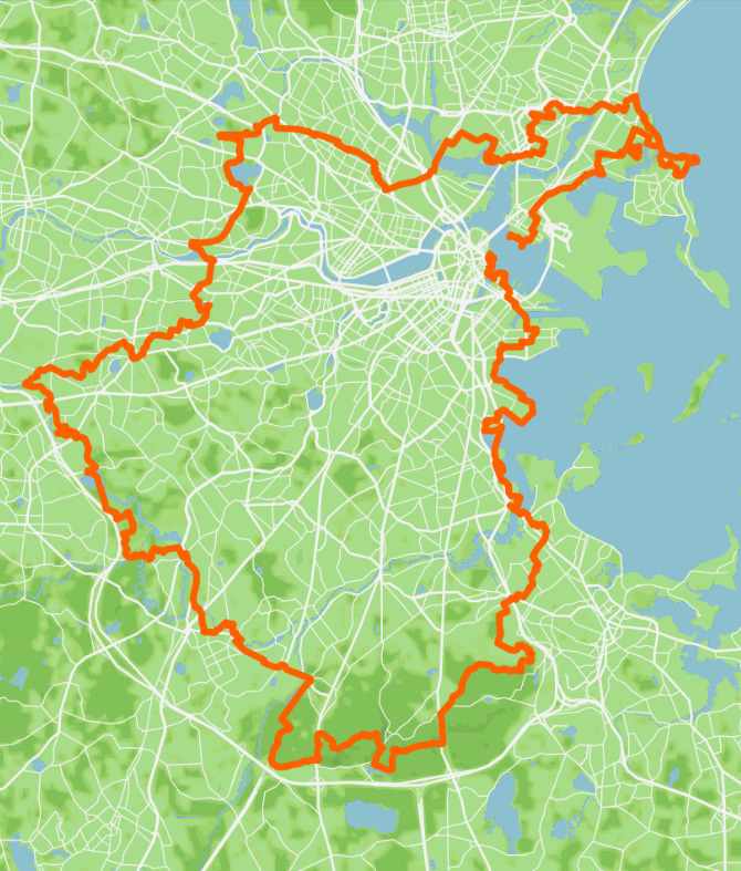
Have you ever tried walking around the city or town where you live, in the most literal sense? Back in 2024, I did this on assignment for The Boston Globe, spending a week hiking a close approximation of Boston’s strange, squiggly border. And what became very clear within the first leg of this city perambulation was how arbitrary and random the border felt. I would walk into a buzzing marshland, hemlock forest, or residential labyrinth with the understanding that I was still in Boston, only to find that I had just stepped into a neighboring municipality within a few yards; within the same landscape.
So naturally, I wondered: What if there was a different way to walk around a major city like Boston? An orbital journey that played faster and looser with lines that demarcate “cities” and “towns,” emphasizing the interconnected nature of green spaces and built environments around Greater Boston? This was pretty much the same idea that led to Boston’s Walking City Trail from Mattapan to Bunker Hill taking shape—using curious, walkable spaces to link communities that are often misperceived as distant from each other. But the prospect of applying this idea to Boston and neighboring municipalities started to grow more intriguing since my earlier walk around the city. And back in late November of 2025, a group of us Walking City Trails volunteers started discussing this.
Half a year and many, many miles later, that idea has evolved into a very big new trail.
Today, on National Trails Day, I’d like to introduce you to the Boston Boundless Trail.
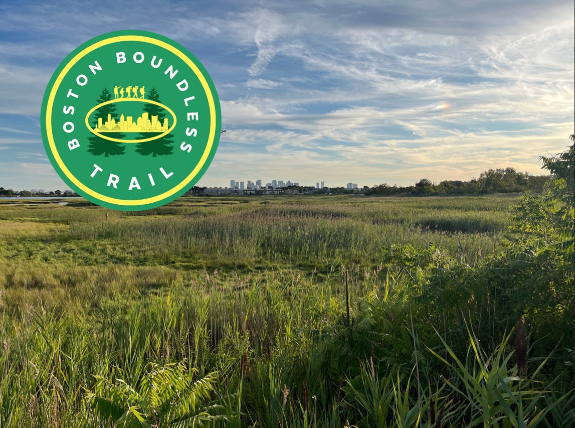
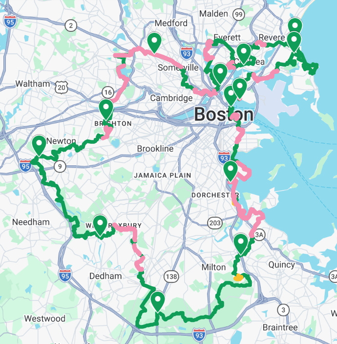
The latest addition to the Walking City Trails network—our first loop trail, and by far our longest trail—is an epic re-imagining of Boston’s borders. The Boston Boundless Trail, or the “BBT” as I like to call it, passes through every city and town that touches Boston. It’s divided into 12 segments and like all the Walking City Trails, it prioritizes green space and other scenically interesting spaces over directness. Public transit is available along each section of the BBT; even the section that roller coasters through the Blue Hills Reservation over the rockiest and most backcountry territory visited by any Walking City Trail thus far! And the final step to closing the loop, on the BBT’s last stretch through East Boston, is a suggested $2.40 ride on the ferry from Eastie to the North End. That makes the Boston Boundless Trail our first “multi-modal” trail as well.
None of this would have happened without the enthusiasm, creativity, and generosity of the Walking City Trails community. The name of the trail, a real struggle until just a few months ago, was suggested by Wyoma, who came to the first very group hike on the Walking City Trail in 2022 during a blistering heat wave. Joining me on most of the scouting and photography walks that took place between March and June was Patrick Maguire, whose prolific ambling has included walking the length of a marathon in lots of Boston neighborhoods. And two of the leafiest segments of the Boston Boundless Trail actually double as a sneak peek of another landmark trail in Greater Boston that’s going to be coming to the surface in the not too distant future—the Boston Greenbelt Trail, envisioned by David Loutzenheiser, who has been on several of our Boston Night Hikes. Sections 4 and 5 of the BBT will follow the same route as David’s upcoming trail.

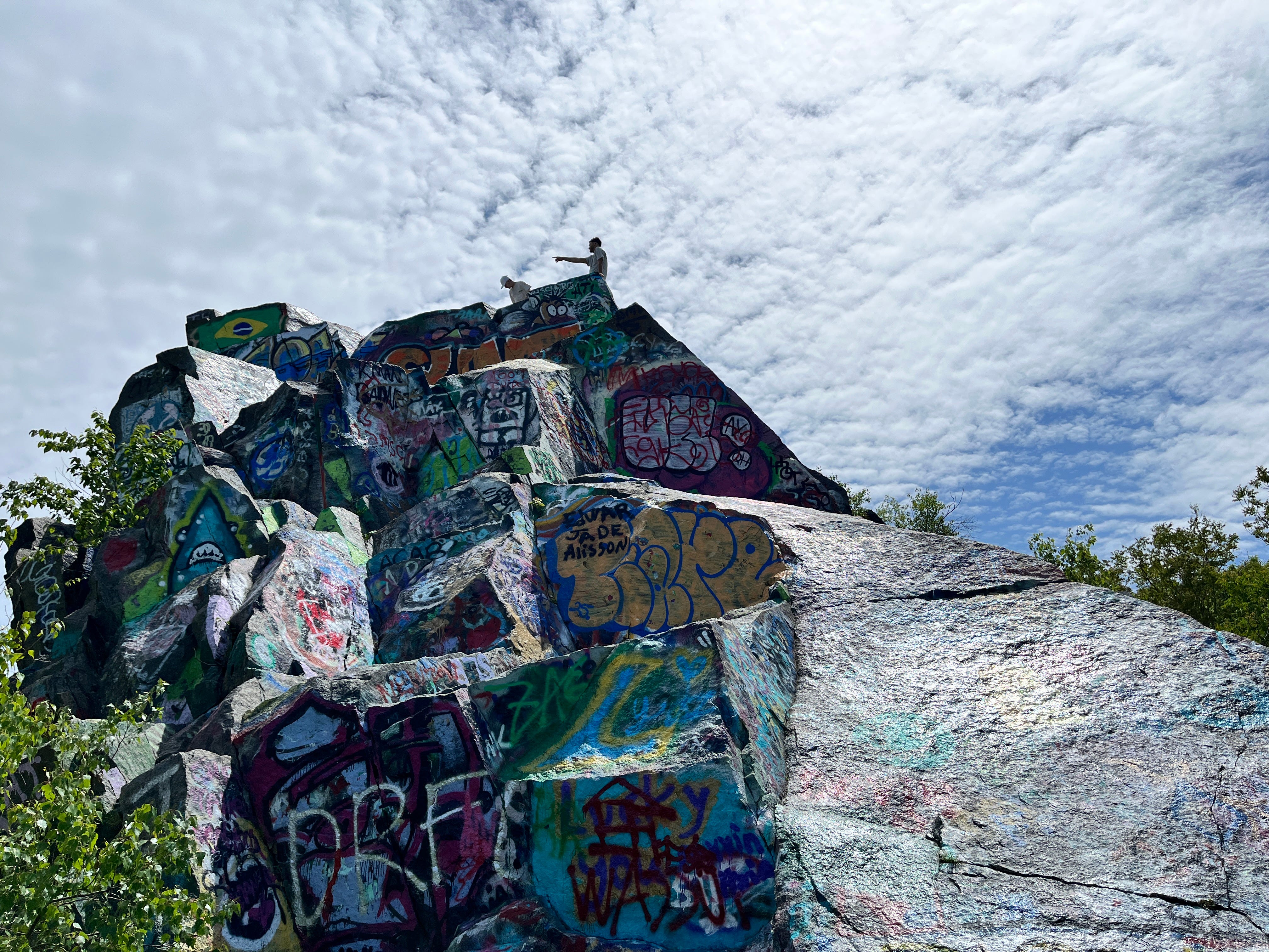
All of which is a way of saying that Boston’s culture of exploring and sharing what we find out there seems to compound each year. I hope that the BBT will inspire many of you to wander beyond the edge of what’s familiar—with sunblock, salty snacks, and a watchful eye for ticks—and be open to the social cross pollination that can happen on trails of any type. And just to whet your appetite further, here are several nuggets of information about the Boston Boundless Trail and the ground that it covers…
- From start to finish, the BBT is 90.9 miles long. (We didn’t plan this. It just happened!)
- The BBT runs through over 100 different green spaces in Boston and its surrounding cities and towns, from pocket parks to craggy hills and ridgelines with amazing views.
- The spectrum of environments covered by the BBT ranges from backcountry-esque forests to industrial territory where hidden flecks of greenery still manage to survive.
- Of all the BBT sections, the shortest of the lot is Section 11, which runs 4.7 miles through the town of Winthrop and a bevy of maritime environments found there.
- Conversely, the longest section of the BBT is Section 4 (11.1 milles) which features a literal lost highway in the woods near Canton and multiple forests there and in Boston.
- The most physically challenging part of the BBT is without a doubt Section 3, which enters the Blue Hills Reservation via other parks and follows the roly-poly Skyline Trail.
- The flattest part of the BBT is Section 7 from Oak Square in Brighton to Davis Square in Somerville, and this section is also one of the most thoroughly bike-able on the BBT.
- While the BBT was planned for walking first and foremost, it includes more bike-able stretches than any of the prior Walking City Trails, and you can see these segments by using our Google Map of the BBT and selecting the optional overlay of bike-able areas.
Ready for an adventure? Click here to visit the page for the Boston Boundless Trail for maps, directions, and more information about stuff like transit connections or packing.
You’ll be hearing a lot more about the BBT in regional media over the coming weeks. Will Katcher of MassLive just published a nice story about the trail launch, and in a few weeks, I’m going to be bringing a radio host that a lot of you know out to that lost highway in the woods that I mentioned earlier. In general, one of the best ways to introduce a trail is to invite people out to explore it. And to that end, I’m thrilled to announce a series of introductory group hikes along select segments of the Boston Boundless Trail, all of which will be taking place between mid-June and July Fourth!
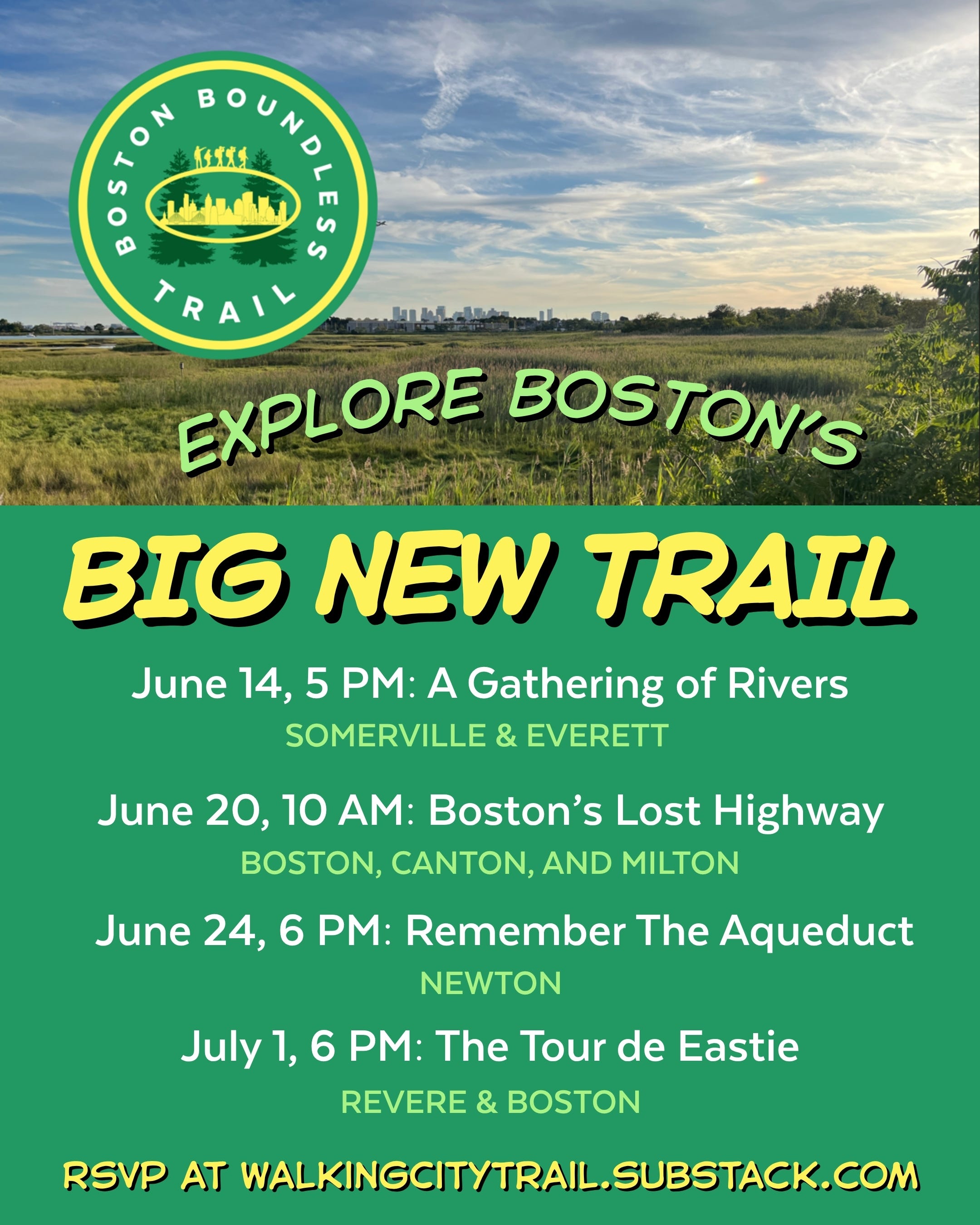
You can register for the first hike by clicking here. It’s going down on Sunday June 14th at 5:00 PM. (Ward off the Sunday scaries with a ramble along the intersection of the Mystic and Malden Rivers, on Section 9 of the BBT!) There is no cost to RSVP for these hikes, but if you feel like supporting the Walking City Trails project by grabbing a WCT membership—which includes a sweet patch!—you can do so by clicking here.
And you can get updates on the next hikes by signing up for the Walking City Trails newsletter, which is the best way to stay abreast of trail news and events in general.
Whether your gateway to the Boston Boundless Trail is one of these group hikes or a more solitary jaunt, I can’t emphasize it enough: These trails would not have come to fruition without the curiosity and support that so many of you have expressed, in lots of ways. Thank you for believing in this venture, and most crucially, have fun out there!
Cheers,
Miles