As a lot of you know, one of things that I’m most hopped up about these days is the growing Instant Urban Trails movement. More and more people in American cities are establishing new urban hiking routes that offer regular access to green spaces, public transit, restaurants, shops, and historic oddities. The “Instant” in Instant Urban Trails alludes to how quickly and cheaply one can create a trail today—using digital tools to map and promote a trail that’s made up of park pathways and sidewalks.
The 17-mile Crosstown Trail in San Francisco, profiled by National Geographic after its 2019 launch, put this accessible methodology of trail-making on the map for more of us to contemplate. I’m both a super- fan and an early adopter of the Instant Urban Trails method, having started the Walking City Trail here in Boston last year. (27 miles from the Neponset River to Bunker Hill Monument, for those joining the party.) And last week, I traveled to the west coast for a literal summit with fellow trail planners who’ve been very hard at work laying out the latest Instant Urban Trail in a U.S. city.
So today, I want to tell you all about Seattle’s new Olmsted 50 trail.
As America’s OG landscape architect, Frederick Law Olmsted left more fingerprints across the northeast than Spiderman scaling New York’s skyscrapers. There are so many Olmsted parks, boulevards, and campuses along the eastern seaboard that some parks, such as Springfield’s majestic Forest Park, have been mis-attributed to Olmsted for decades. (A fact that’s just now starting to bubble to the surface.) And when you’re a shit-hot, stone-slinging rock star like Olmsted became after designing Central Park, you start getting calls from the west coast. By the time of his death in 1903, Olmsted had played a strong hand in shaping Golden Gate Park and Stanford’s campus, and he left his design firm in the hands of his sons, John and Frederick Jr.
So it’s no surprise that around this time, when the City of Seattle decided to expand its paltry collection of city-owned parks, they sent for the Olmsted Brothers. John packed his effects and took on the project, encouraging the city to start by purchasing several of the privately-owned parks that developers had built at both ends of several Seattle streetcar lines—many of which ran along the open shores of Lake Washington. From 1903 to 1913, a master plan was realized: catalyzing the construction and acquisition of parks with that classic Olmstedian cocktail of recreational elements and scruffier trees, plants, and stones. Things that imbued the city with distinct backcountry flavor.
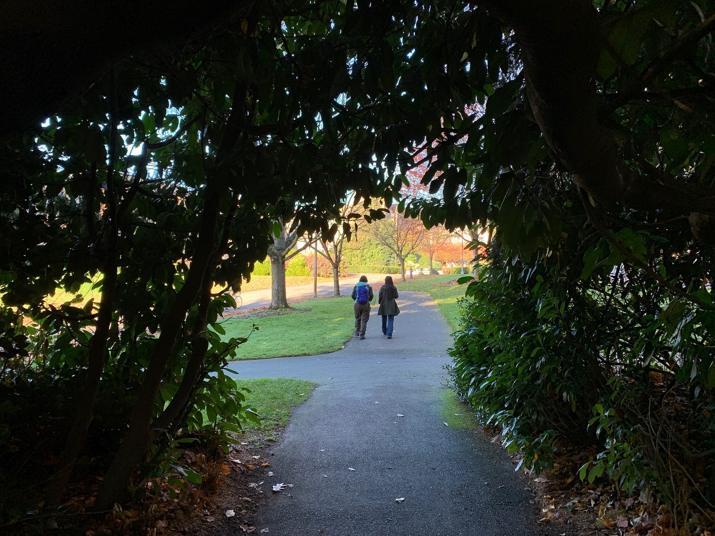
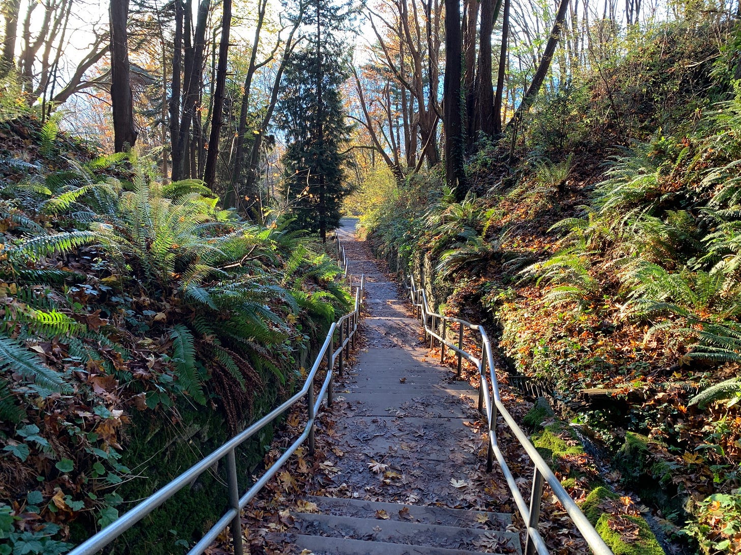
The Olmsted 50 trail is a pine-scented journey of 31 miles, on which you hike through these parks. It runs southeast from the Ballard Locks to the playfield at Rainier Beach. And along the way, you visit built landmarks like the dizzying staircases up through Golden Garden Park, the University of Washington campus (and Husky Stadium), and Capitol Hill’s Lakeview Cemetery, the resting place of Bruce Lee and Brandon Lee.
Seattle’s newest Instant Urban Trail was envisioned, scouted, and mapped by Peter Hendrickson and Stuart Johnston. Peter, a volunteer trip leader with The Mountaineers (essentially the AMC of the Pacific Northwest) had already been shepherding Seattle residents and visitors on urban hikes that made use of Olmsted parks. Some of these group hikes were night hikes, where participants would strap on headlamps and climb to high points where they could take in celestial vistas of the city’s twinkling lights. The idea for an epic Olmstedian park-to-park trail had been marinating quietly, and after some encouragement from Bob Siegel (who had co-founded the San Francisco Crosstown Trail), Peter decided it was time to assemble a squadron of planners and bring the mighty Olmsted 50 trail to the surface. The trail launched earlier this month!
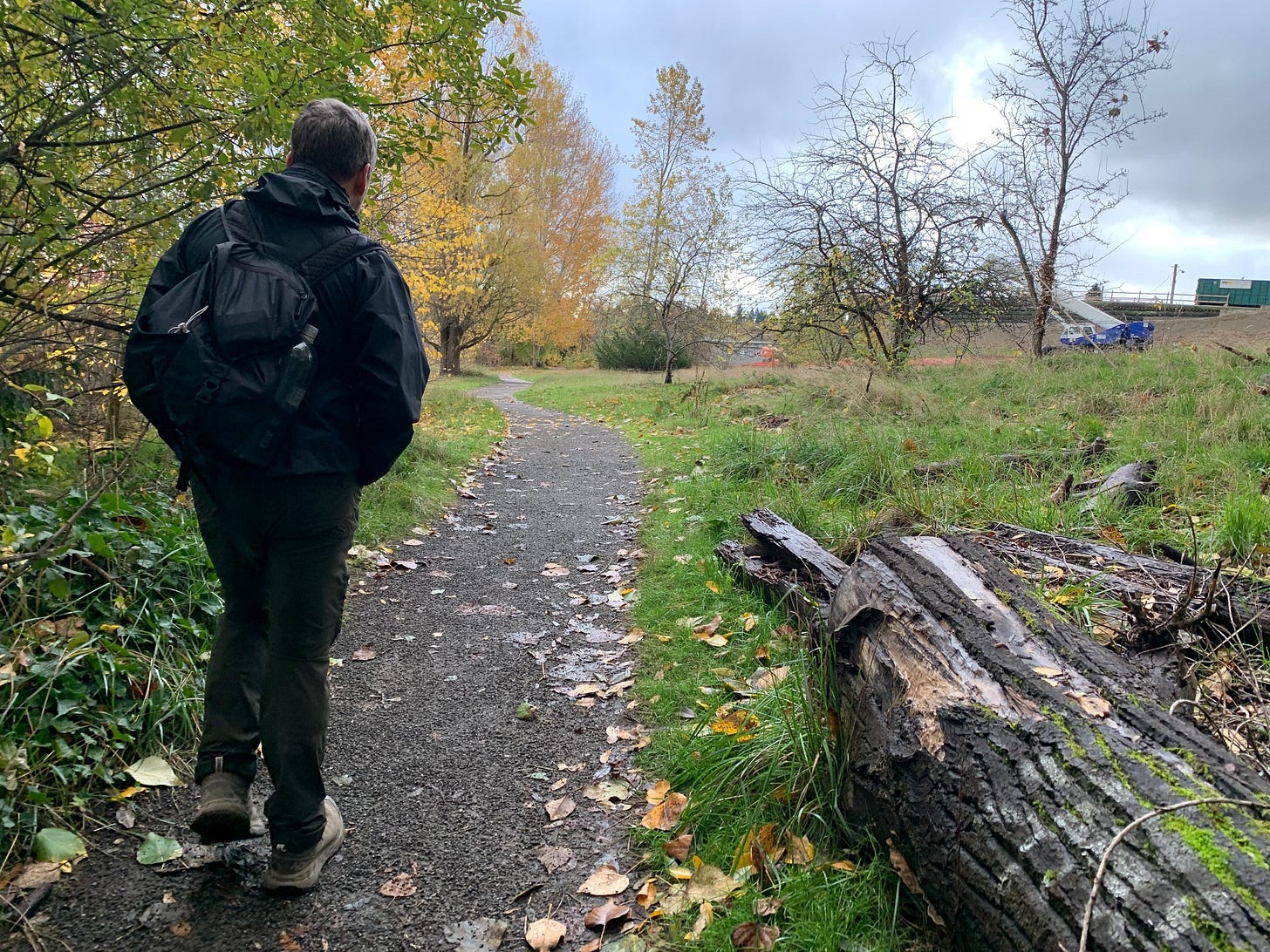
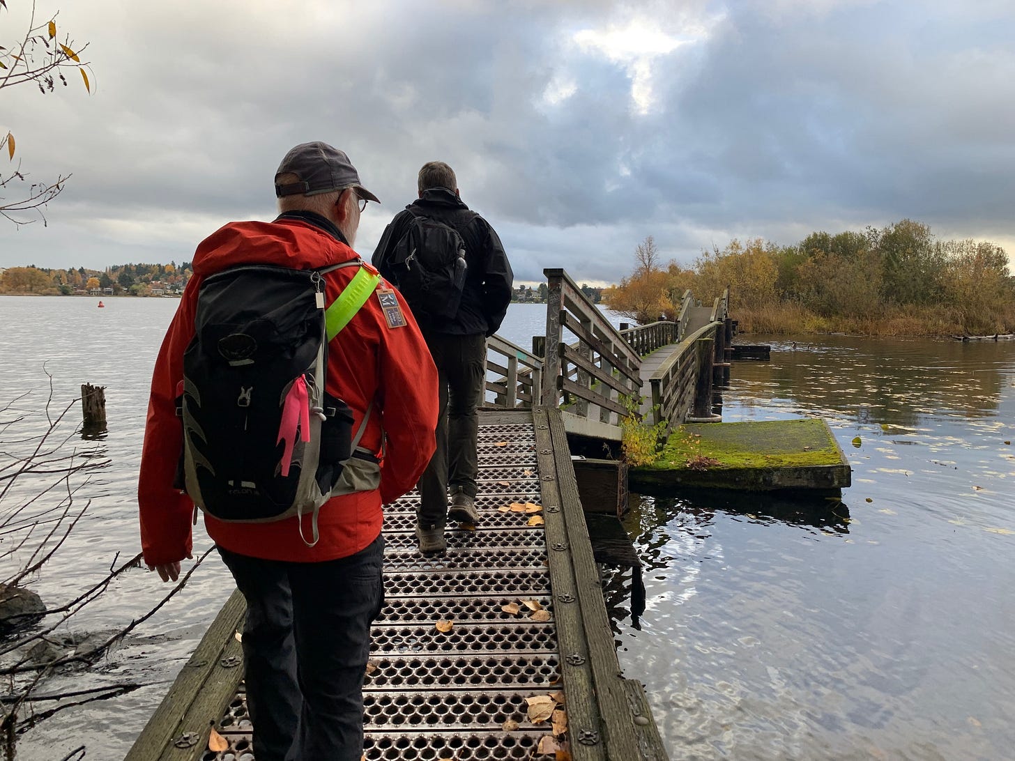
Now here’s where things get a little eerie. When Peter and I got in touch last summer to plan a meetup along the trail—once it was finished—we decided to explore part of the Olmsted 50 trail’s third segment. We would meet at Husky Stadium, cross a series of floating bridges to nearby Foster Island, hustle underneath Route 520, enter the Washington Park Arboretum, and climb to the airy heights of Volunteer Park by way of a hidden forest on the east side of Capitol Hill. (The wonderful, Jurassic-looking Interlaken Park.) As the agenda came together, I started to feel a creeping sense of Déjà vu, and then I realized what it was. Last November, when visiting Seattle, I had hiked this nugget of the Olmsted 50 trail before it was officially the Olmsted 50 trail.
It was a happy accident on my part: the random act of looking at a map of city parks, finding a bunch that were close together, and improvising a day hike through these spaces. I wrote about it in a prior issue of the newsletter, which a lot of you seemed to enjoy. But when Peter and his colleagues approached that same area through the lens of creating this grand Olmstedian park trail, they did so with the civic intimacy and intentional vision that one needs to create a bona-fide urban hike. And as we set off from Husky Stadium together on a whistling, steel-gray morning, that Déjà vu was gone: I was about to see those parks through a new set of eyes, with richer context.
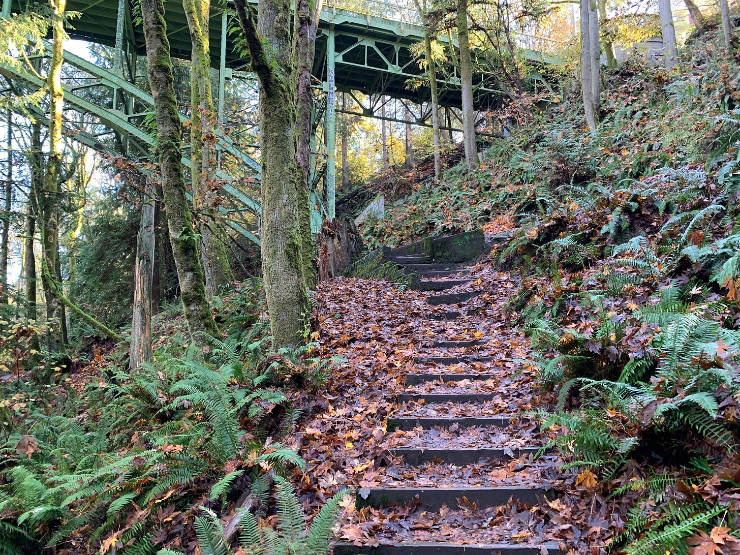
I bring this up to demonstrate how many of us are already flirting with becoming trail planners ourselves, sometimes without even knowing it. Most people who spend time in cities have familiar urban walking routes that they enjoy re-visiting or dragging their friends along. Just as often, we improvise walking routes that surprise us with their scenic heft. The quantum leap is realizing that one or several of these routes could become the backbone of an urban trail one day. That’s why I believe that any city (or suburb, for that latter) can be a viable hosting ground for more Instant Urban Trails. The launch of the Olmsted 50 trail is the latest demonstration of what’s possible, and given the way Seattle is positively overwhelmed by towering conifers, immense ferns, and angular topography with staircases, it’s an especially thrilling addition to the list.
I’m sure we’ll be reading a lot more about the Olmsted 50 trail in the months ahead, as the word gets out and travel publications take notice. (Not to mention, Olmsted’s posthumous groupies!) But for now, here’s what you need to know if you’re visiting Seattle or planted in Seattle, and you’re interested in checking out the trail. The maps and written directions for the Olmsted 50 trail are available at the trail webpage, which is part of the Mountaineers website. (You’ll find these resources by clicking the blue RESOURCES tab toward the middle of the page.) You can also download a GPX map of the complete trail and then upload it to your GPS-navigation app of choice, such as AllTrails or Gaia. That’s what I did for our group hike along Section 3 of the Olmsted 50 trail, and then for my solo wanderings on Sections 1 and 2 the following afternoon.
If you only have time to check out one green space on the trail this weekend, allow me to recommend the co-joined Ravenna Park and Cowen Park (located on Section 2, near the University District.) Here the trail brilliantly manages to take you through the verdant floor of a ravine before transporting you into the forest canopy via bridges that extend through the treetops. There was something very Donkey Kong Country-esque about experiencing the woods from these two vantage points, and the maze of trails within the woods points to how thoughtfully the Olmsted 50 trail was laid out.
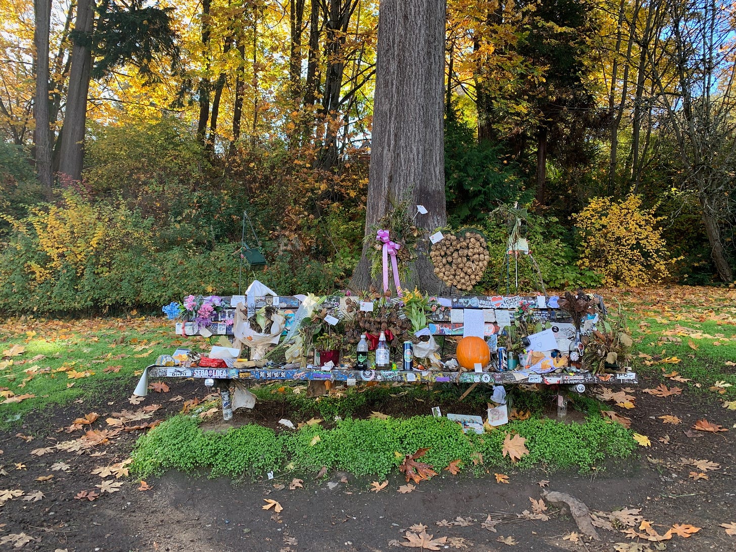
I have a few more suggestions. Heading to the grounds atop Capitol Hill? Be sure to mosey into Volunteer Park Cafe, right on the hillside, for pastries and a cappuccino. Made it through Ravenna Park? Detour a few blocks east to Ravenna Brewing Co and be sure to sample the Luna imperial stout, which is infused with fruity guajillo chiles. And finally, for something worth savoring in a non-edible sense, take a moment to stop at Viretta Park, on Section 4 of the trail. Here you’ll find a bench where visitors have left candles and handwritten letters to the late Kurt Cobain. (The house where he ended his life in 1994 is located nearby.) I lingered there and read one particular letter, from an admirer who had been visiting from Alabama, and for whom Cobain’s music had a profound effect, amid an abusive childhood. To imagine the sheer weight of the journey that this letter writer eventually took, to the city where grunge was born—where all the songs that made them feel seen came from—left me with a lump in my throat.
And yet, the trail continues further, and the blue depths of Lake Washington beckon. I kept hiking along the water until my feet protested too much, and I ruefully located a bus. Next time I’m in town, I’ll catch the same bus once more. I’ll see what’s up ahead.
The Seattle Olmsted 50 trail
Hike distance: 31 miles (broken into 5 sections)
Elevation gain: 2,329 feet
CLICK HERE for trail maps and directions
While we’re on the subject of Instant Urban Trails, there’s a nice story in the Worcester Telegram about hiking the East-West Trail. This alternately splendorous and gritty 14-mile hike across the parks and forests of Worcester is an Instant Urban Trail classics and it was actually one of the very first trails to demonstrate this approach to trail-planning. The trail project was started in 2001, well before the Crosstown Trail was covered by the New York Times and such. Thanks to the involvement of Worcester’s parks department, the trail is affixed with information kiosks and signs, which you don’t often see on Instant Urban Trails. I wrote about hiking the East-West Trail last year, and the latest dispatch is from Marco Cartolano, who moved to the area after growing up in Florida’s Miami-Dade County and got to know the city by working as a journalist. His piece is a wonderful tale of how urban hiking can make familiar spaces sparkle with catharsis…or bristle with uncertainty. Give it a read, check out the trail, and then go re-visit Bill Shaner’s guest dispatch about the gnarlier East Side Trail.



Oooo! Is there a website or guide to doing an instant urban Trail? I should do one for Jersey City for that matter New York City I used to lead walking and biking tours of the community gardens of New York City. That would be a nice way to start a route.